
Feel free to email any comments to me, Steven Sostrom at
srs@umich.edu
Also, please visit my Home Page
if you haven't already!

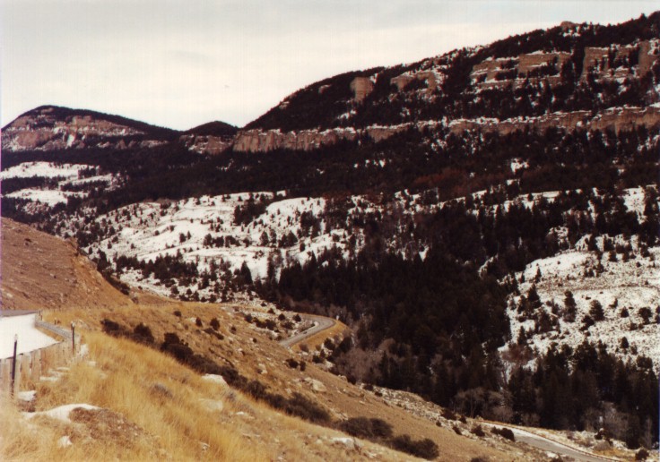
These pictures are from a scenic overlook on a road called the Gooseberry
Cutoff, between Meeteetse and Worland. The date was December 30, 1996.
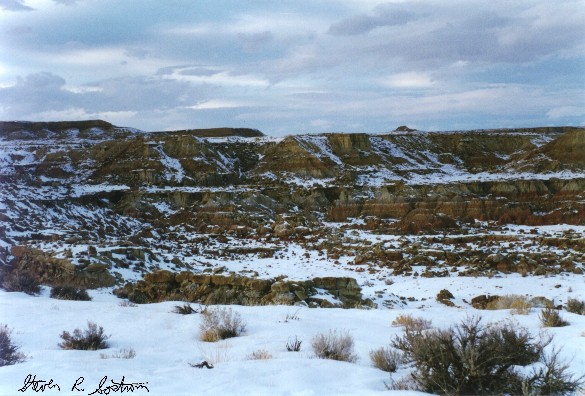
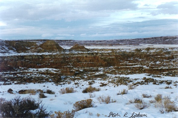
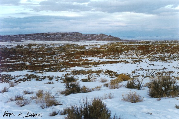
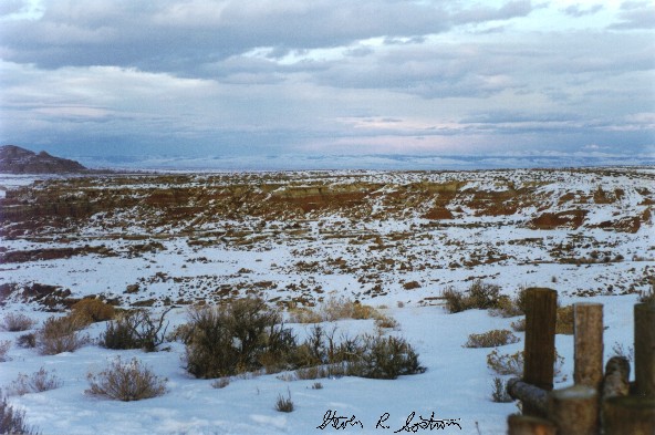
These first 4 pictures, when put together form a panoramic view. Click on them
for a closeup.
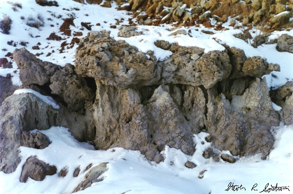
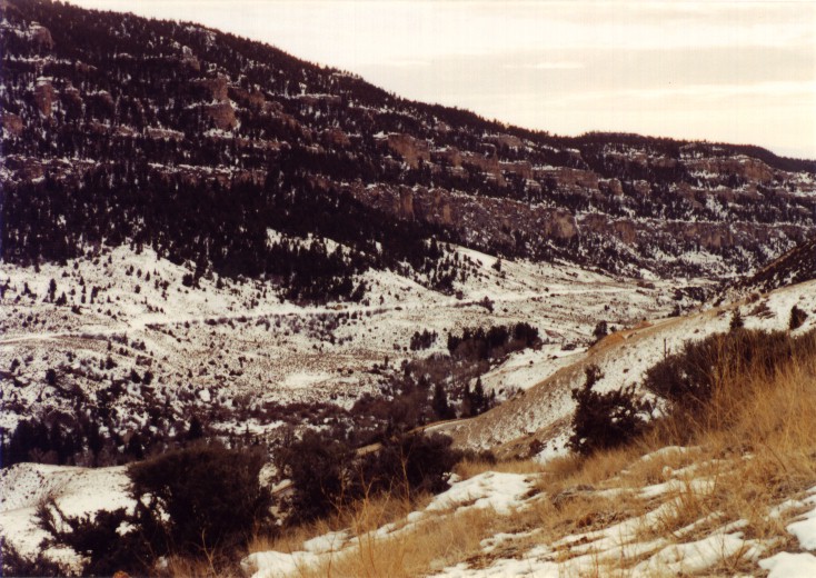
Here are closeups of some interesting erosion, still at the same location as
above.
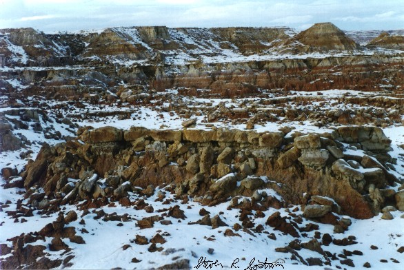
I took the next three pictures on New Year's day, 1994 while I was on my way back home to Michigan. Click on them to get a better view.
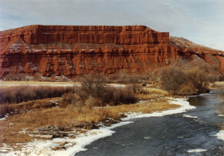
This red cliff located on Nowood creek just outside of the town of Ten Sleep
Wyoming is a favorite of mine.
Here are left and right views of Ten Sleep canyon taken from the same spot. At
the bottom of the canyon is Ten Sleep creek. The switchbacks in the highway can
be seen in the picture on the left.
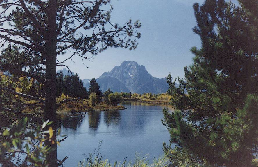
This is quite a picturesque view of the Tetons. This picture was taken by Paul
Martz.
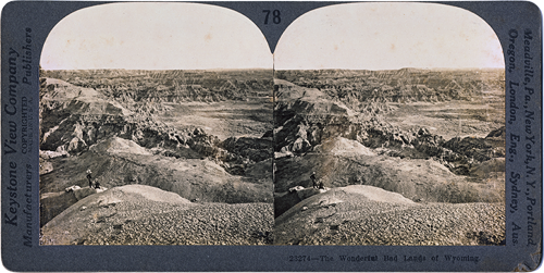
The Wyoming Badlands in Stereo! For help viewing this image,
click here.
THE WONDERFUL BAD LANDS OF WYOMING
East of the Rocky Mountains is an open, unforested land known as the Great Plains. Most of this region is especially well suited for raising grain, and in some sections are extensive beds of lignite. In portions of the Great Plains, especially in South Dakota, Wyoming and Nebraska are areas known as the Bad Lands.
This picture gives us a view of the Bad Lands of Wyoming. The soil and subsoil of these lands are unusually soft, consisting largely of clay and shale. The rainfall in the region is very light. When it does rain, however, it comes as from a cloud-burst, in great abundance and lasting for a short period. The water cuts deep into the soft material and carries the soil away, carving all kinds of strange shapes and fantastic forms. There is one particular area called Toadstool Park, because of its resemblance to a collection of mammoth toadtools.
As one can well imagine from this view, these rough lands are very difficult for traveling; hence their name "Bad Lands". They are extremely interesting places to visit. In the clay have been found bones of some of the largest animals ever known to have existed in the history of the world.
In a moist climate with an abundance of vegetation these "bad lands" cannot occur. Roots help to bind the soil together. In our own neighborhood we may see cuts in clay banks, where there is little or no plant growth, that are furrowed and washed out by hard rain. It is similar conditions, going on for ages, which have made the great troughs and terraces in this barren waste.
Copyright by The Keystone View Company

 This
page has been accessed
This
page has been accessed